A landscape of broad rivers, sheltered creeks, family stories, and the imagined My Island.
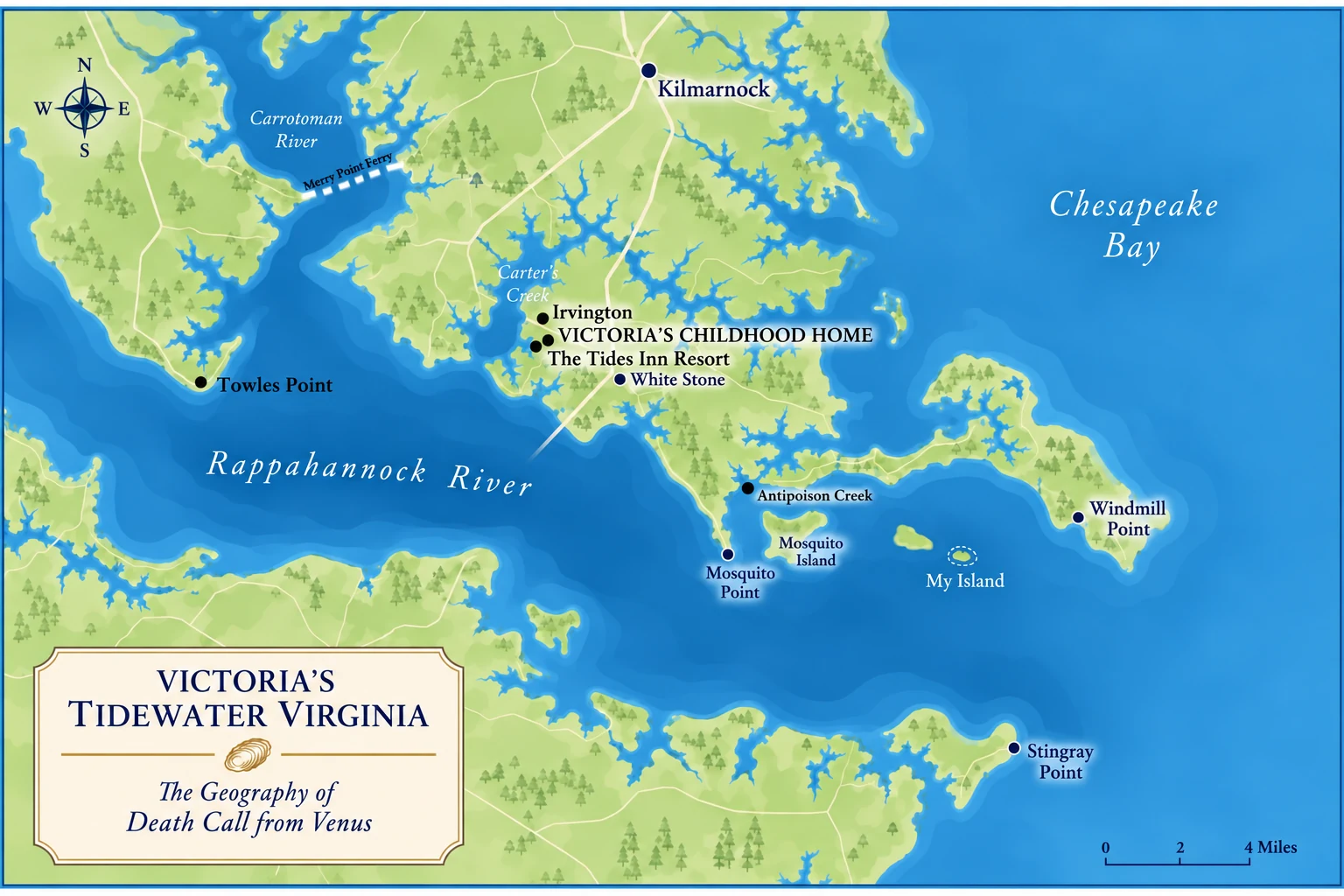
In Tidewater Virginia, a river can feel as wide as a bay. This fictionalized visitor-style map introduces the setting of Victoria Campos’s childhood: Irvington, Carter’s Creek, Mosquito Point, Windmill Point, and Stingray Point.
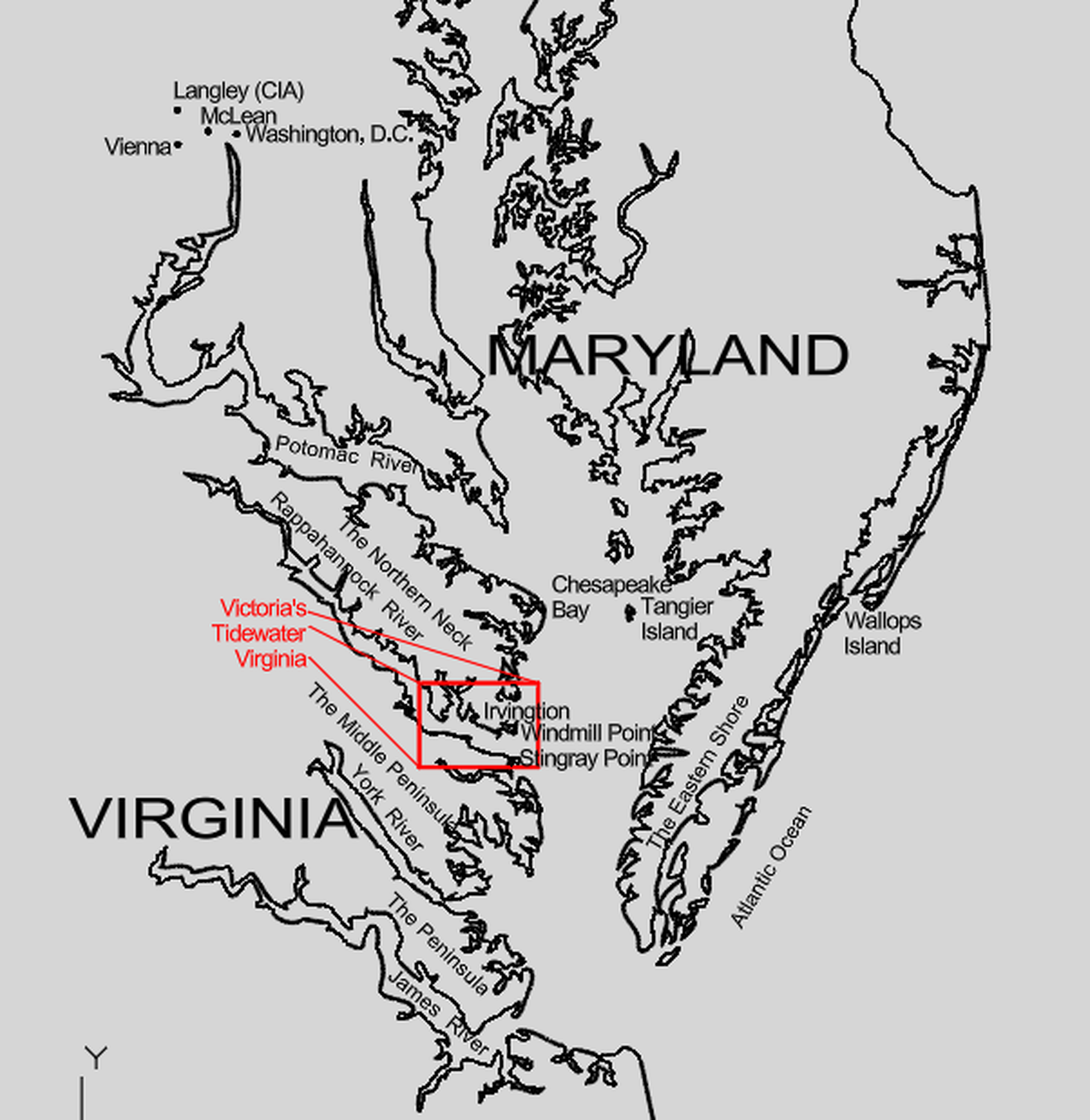
These maps show the settings connected to Victoria Campos’s childhood and the broader story. The regional map follows the author's AutoCAD geography; the red rectangle identifies the territory covered by the close-up map. Select either map to enlarge it.


The detailed map is an illustrated story map, not a navigational chart. The regional shoreline drawing is the author's geographically grounded reference.
Follow Victoria from her childhood home and the Tides Inn at Irvington to the waterways that shaped her curiosity.
In and around Irvington: Carter’s Creek, Tides Inn, Victoria’s childhood home.
Along the Rappahannock: My Island, Antipoison Creek, Windmill Point, Mosquito Point, and Stingray Point.
My Island is an imagined story location. The illustrated close-up is a story map, not a navigation chart.

In July 1608, while exploring Chesapeake Bay and its rivers, Captain John Smith was injured by a stingray near the mouth of the Rappahannock. Accounts describe Smith spearing the animal, then being struck by its venomous barb as he handled it. The swelling and pain were severe enough that he feared he would die.
Smith recovered, and tradition holds that he ate the stingray that evening. The incident is remembered in the name Stingray Point near the river’s mouth.
A local tradition also connects Smith’s recovery with Indigenous healing across the Rappahannock near Antipoison Creek. That detail is best presented as local tradition, not as an independently established fact.
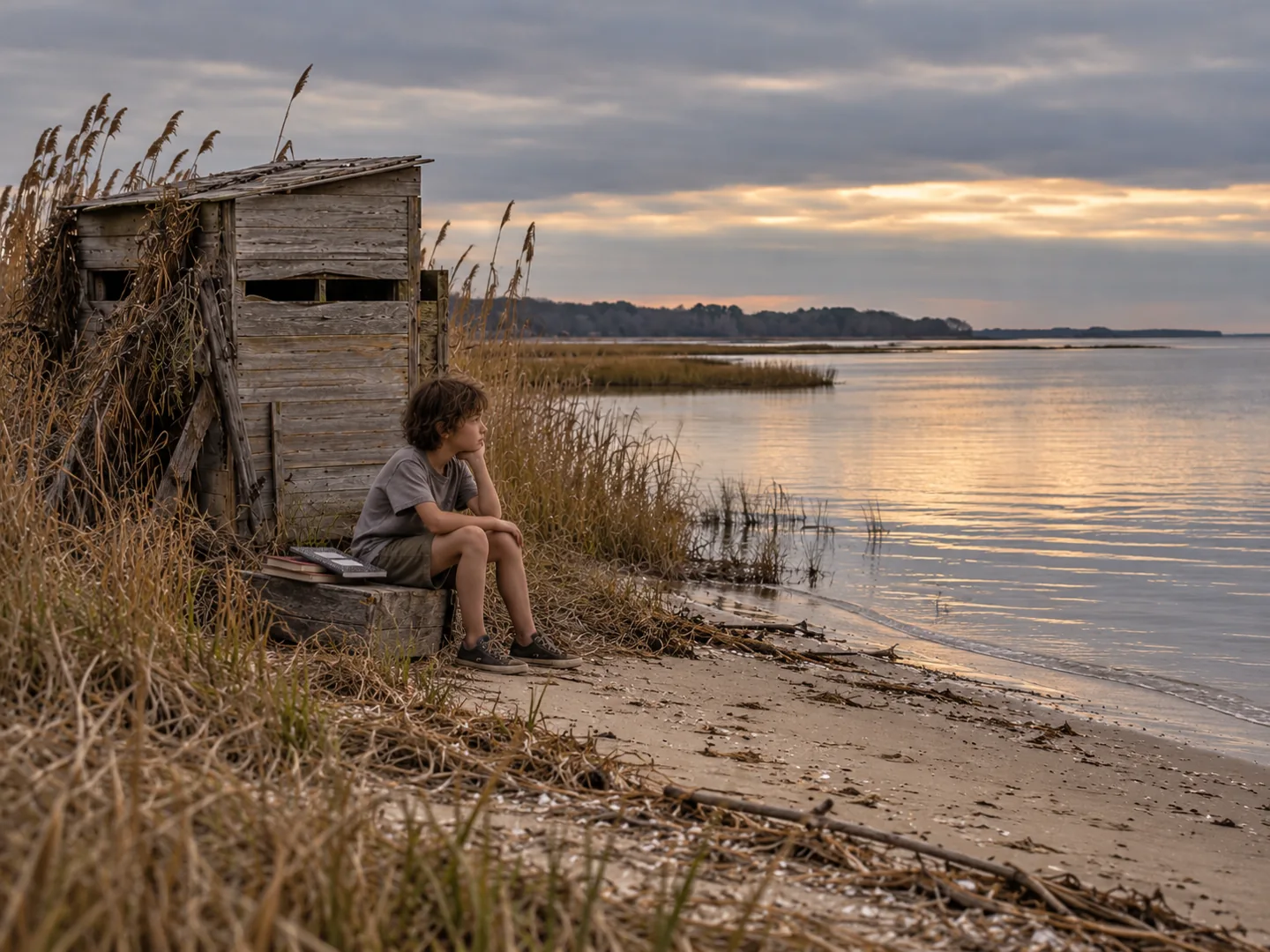
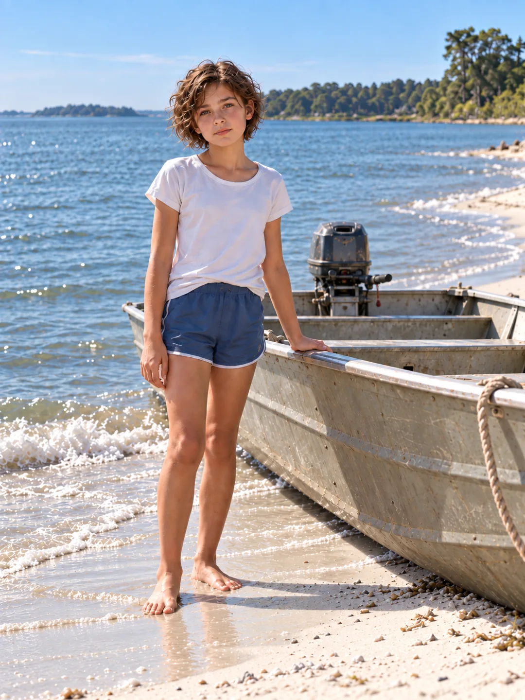
The point, creek, and river belong to the real landscape that inspired Victoria’s fictional childhood.
Editorial note: Check primary-source wording and historical references before public release.